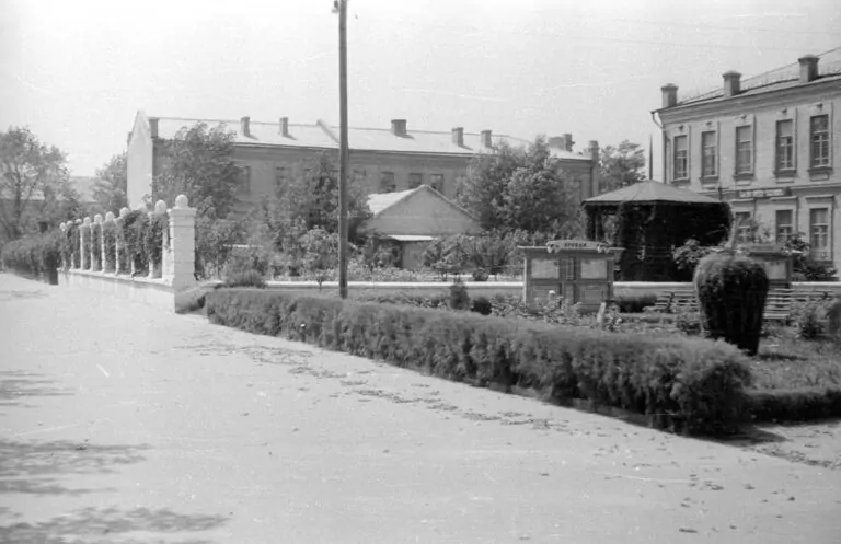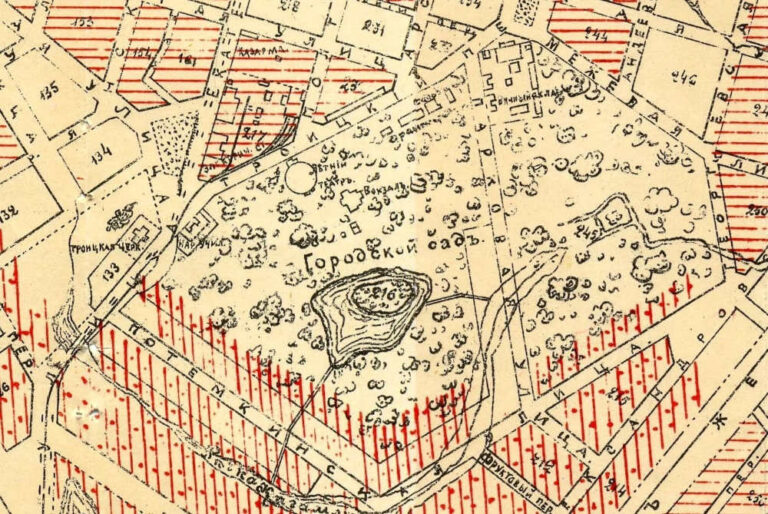
Part of the city plan of Kremenchuk with the City Garden and Potemkinskaya StreetDate: 1908Place: Kremenchuk, City...
maps
Карти міста Кременчук у різні періоди часу
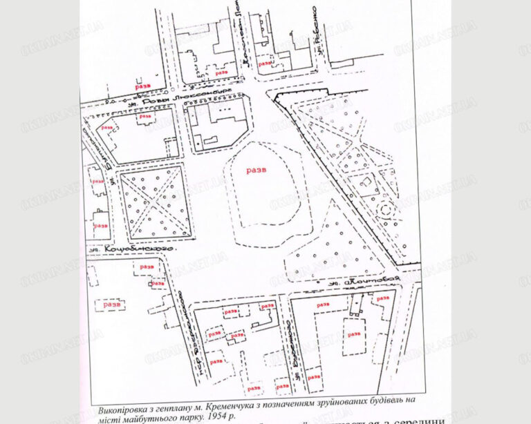
Destroyed buildings on the site of the future Pridneprovsky park are markedDate: 1954Location: Kremenchuk, modern Victory square...
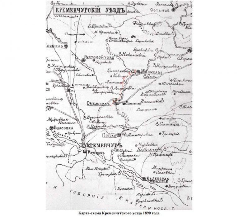
Date: 1890 Location: Kremenchug, Kremenchug district
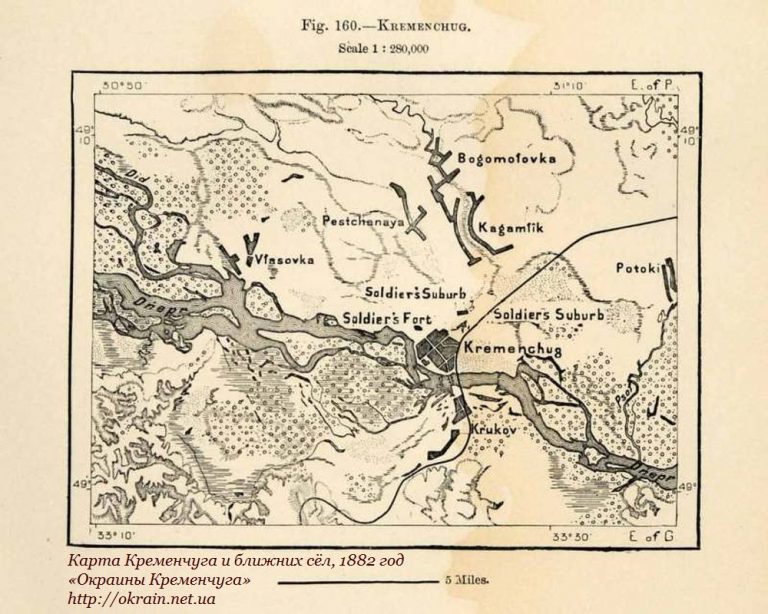
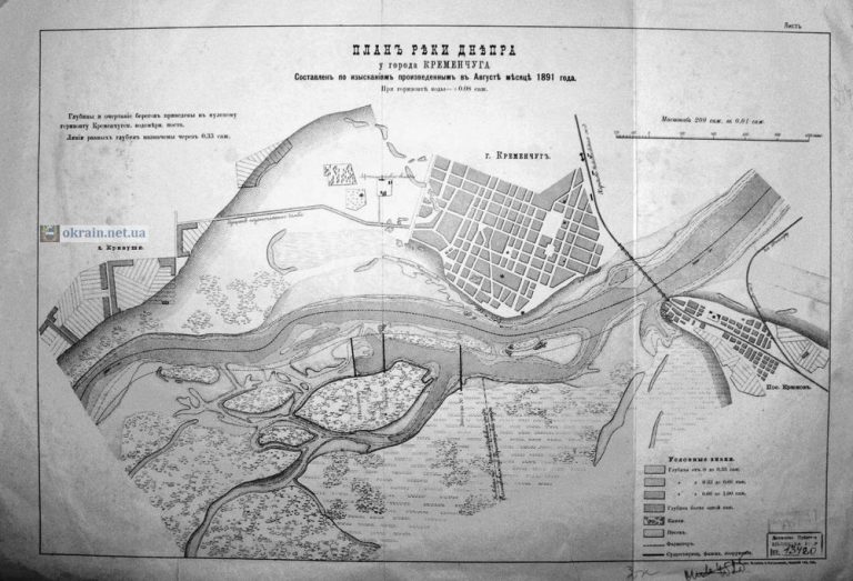
The depths and outlines of the coasts are given to the zero horizon of the Kremenchug water...
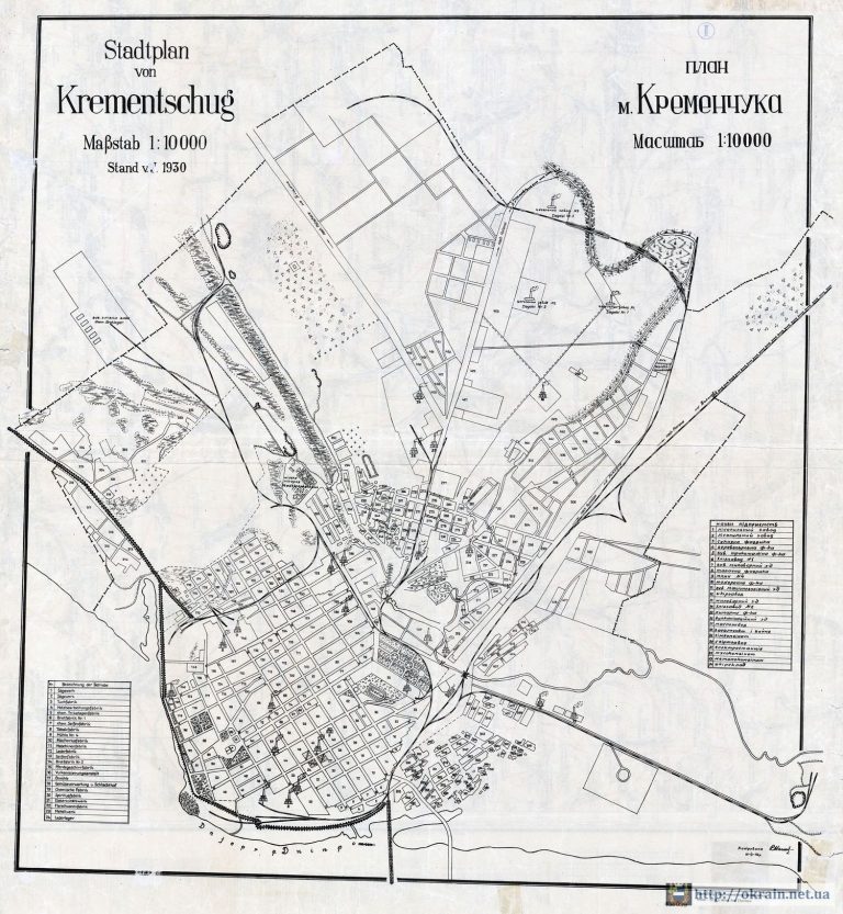
The plan shows the location of the main enterprises in the city of Kremenchug as of 1930Period:...
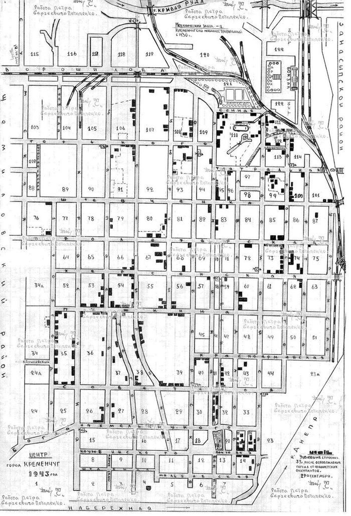
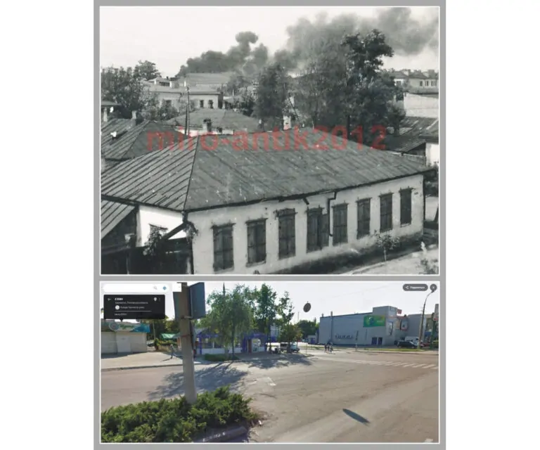
Уцелевшие строения 3% после освобождения Кременчуга от фашистских оккупантов 29 сентября 1943 года. Работа Петра Сергеевича Потапенко.
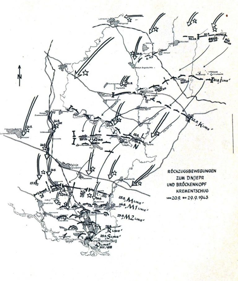
The diagram shows in what chronological order the settlements were liberated up to Kremenchug
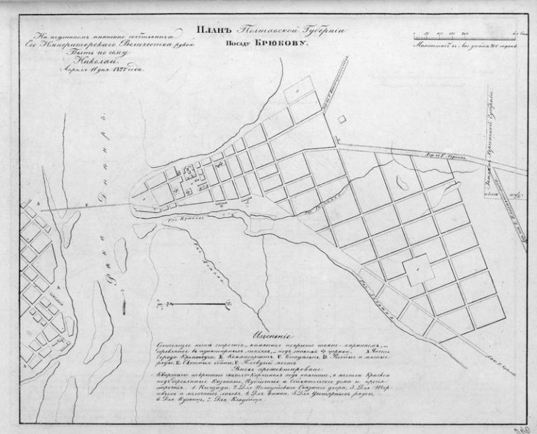
Date: 1827Location: Kremenchuk, Posad Kryukov
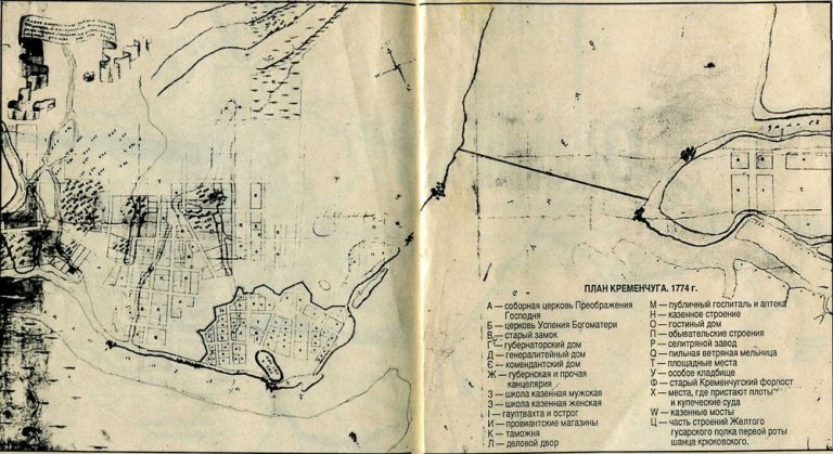
Date: 1774Location: Kremenchuk
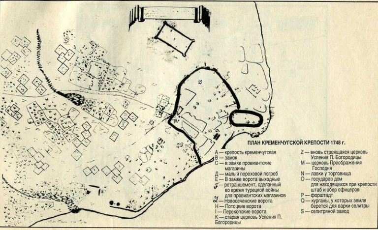
Date: 1748Location: Kremenchuk, fortress
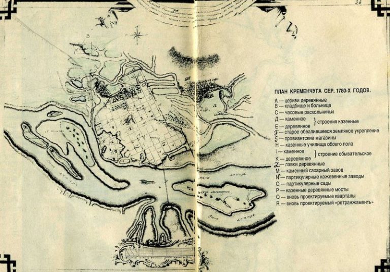
Date: 1780 Location: Kremenchuk, city plan
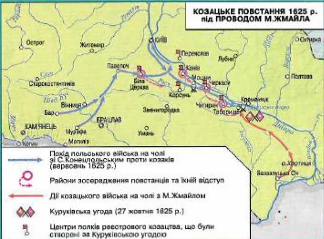
Качество карты очень плохое. Но рассмотреть движение польских войск и казаков возможно.
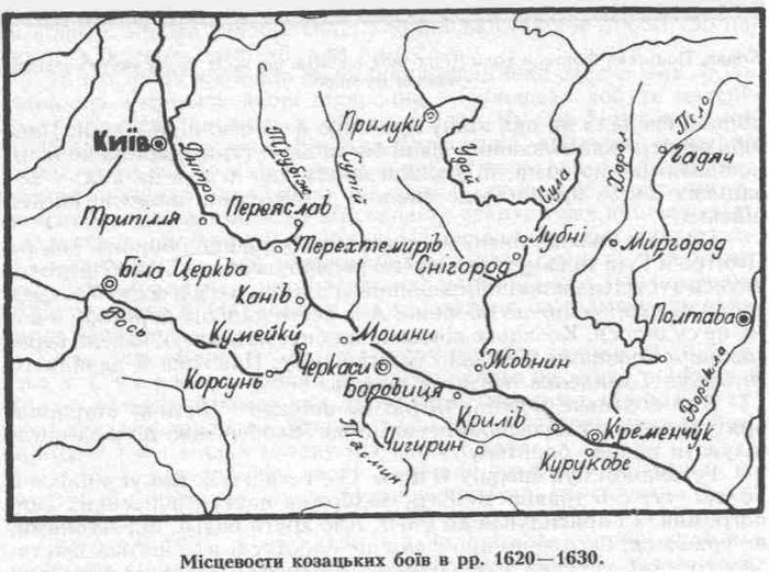
The map shows Kremenchuk and Kryukov, designated as Kurukovo