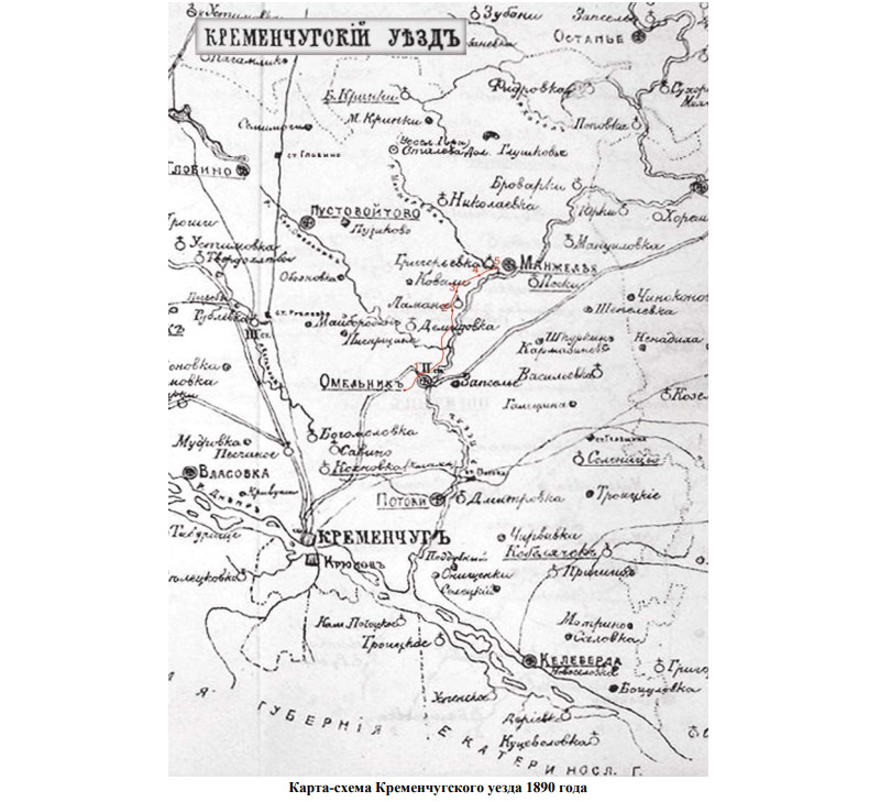
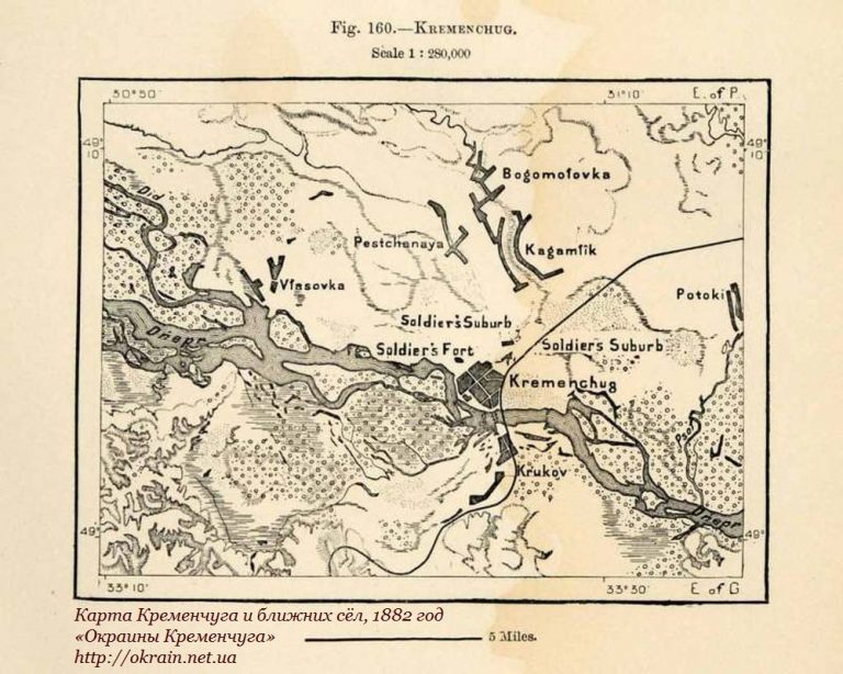
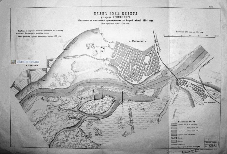
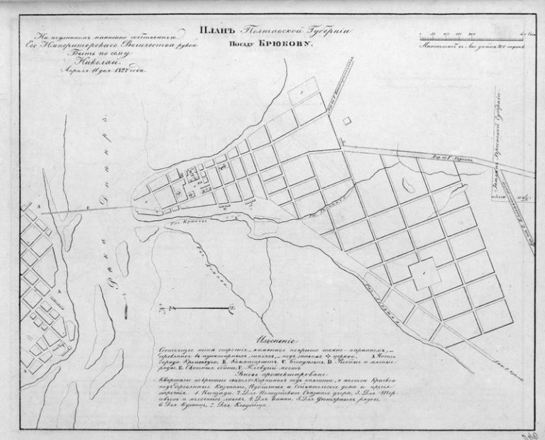
Pre-revolutionary maps Map scheme of the Kremenchug district 1890 map number 2273 Admin 30.05.2020 Date: 1890 Location: Kremenchug, Kremenchug district 4,630 Tags: 1890 рік карта Continue Reading Previous: Chapaevskaya street in Kremenchug 1931 photo number 2272Next: The history of Shtabnaya and Kotsyubinsky streets Leave a Reply Cancel replyYour email address will not be published. Required fields are marked *Comment * Name Save my name, email, and website in this browser for the next time I comment. This site is protected by reCAPTCHA and the Google Privacy Policy and Terms of Service apply.The reCAPTCHA verification period has expired. Please reload the page. Related Stories Pre-revolutionary maps Карта Кременчуга и ближних сёл, 1882 год – фото 913 Admin 22.03.2012 Pre-revolutionary maps Plan of the Dnieper River near Kremenchug 1891 map 792 Admin 12.12.2011 Pre-revolutionary maps Landing plan Kryukov 1827 map 180 Admin 27.03.2010