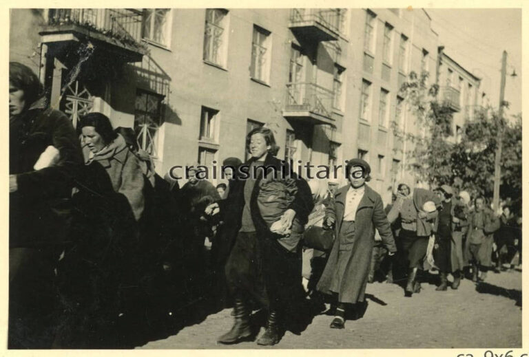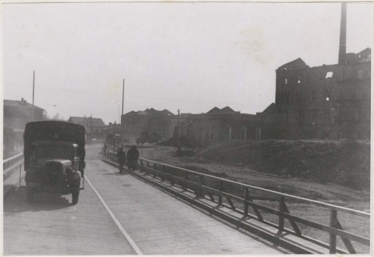
Date: September 1941Location: Kremenchuk, Kryukiv, exit to the crossing below the Kryukiv bridge, near the sawmillSource: Photo...
World War II
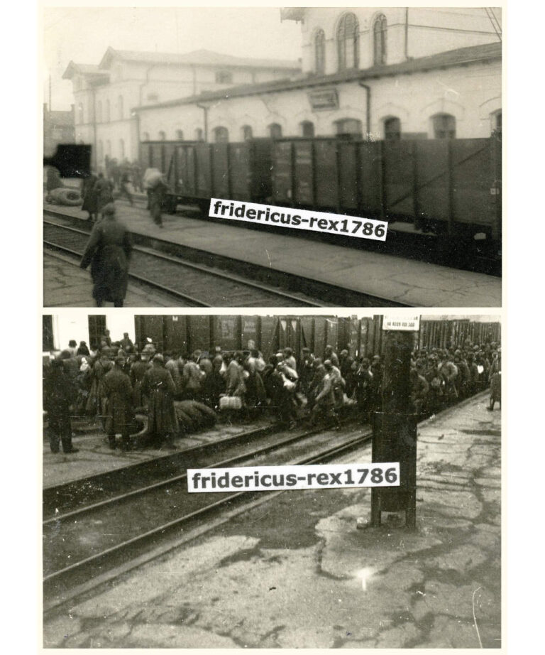
Period: 1943Place: Kremenchuk, Railway stationPhoto provided by Serhiy Kardash
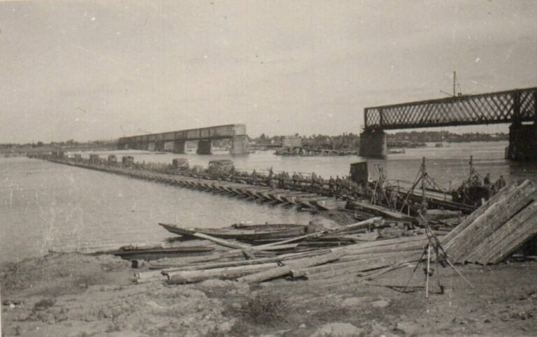
Period: 1941Place: Kremenchuk, crossing, railway bridgeSource: Ebay online auctionPhoto caption: Kampfgruppe v Kleist Kfz Krementschuk Ukraine Ostfront...
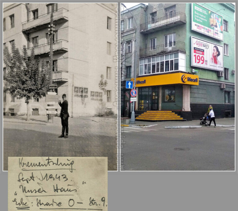
On the back of the photo, the German names of the streets are indicated – Strasse O...
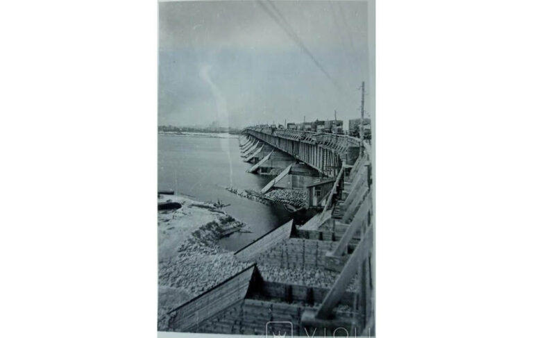
Period: World War IIPlace: Kremenchuk, Rundstedt wooden bridgeSource: online auction “Violity”
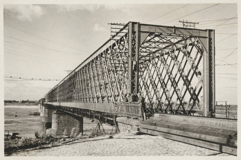
Date: 1941Place: Kremenchuk, KryukivSource: https://www.bundesarchiv.dePhoto provided by Serhiy Kardash
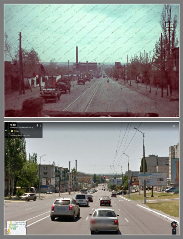
In the center of the picture is a power plant, across the road from it is a...
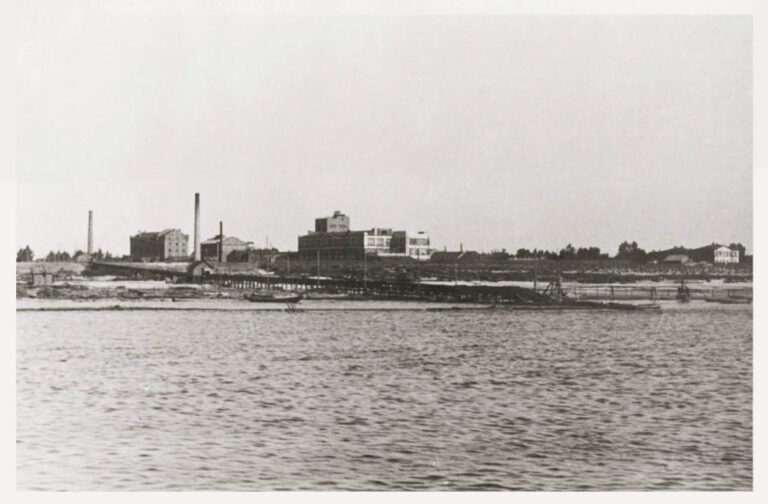
Kremenchuk, the bank of the Dnieper in the area of the modern city beach (closer to the...
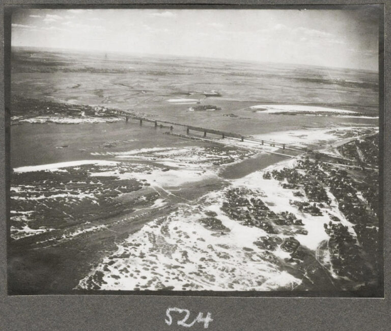
In the foreground of the picture is the left bank of the Dnieper and the area where...
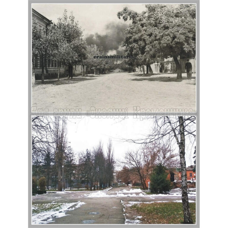
The picture was taken next to the cloth factory, at the intersection with Artema Street (before the...
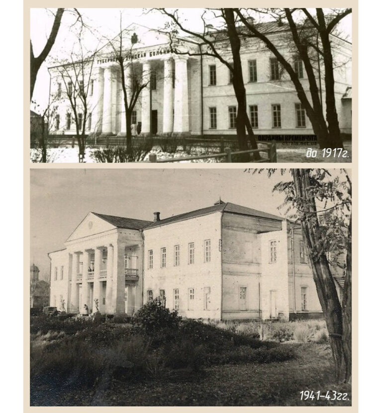
The building of the city hospital 1941-43. (Bottom picture). Until 1917, the Provincial Zemstka Hospital existed here...
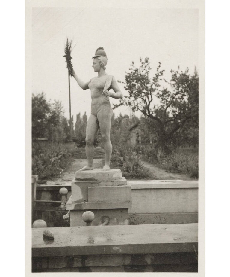
The Germans put a fireman’s helmet on the head of the sculpture “Girl with an Oar”, and...
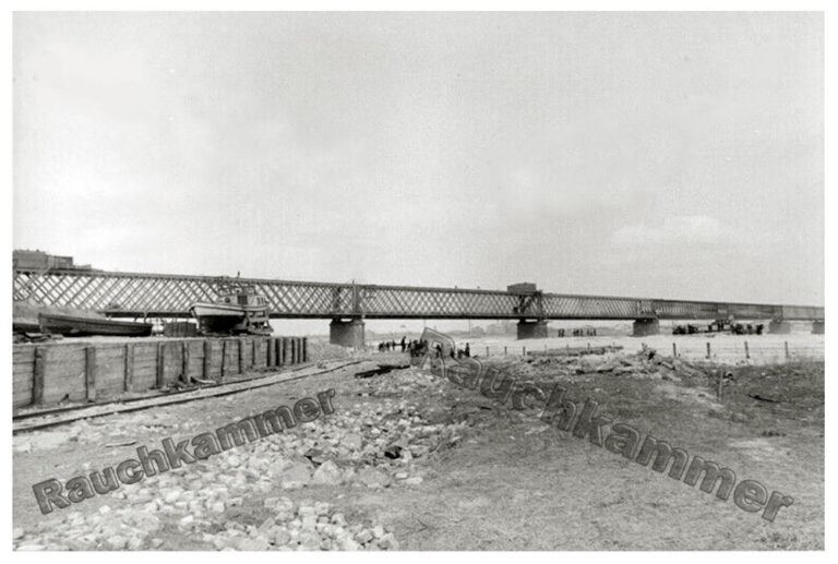
Period: 1941-1943Place: Kremenchuk, view from the Kryukiv bank, on the left of the picture you can see...
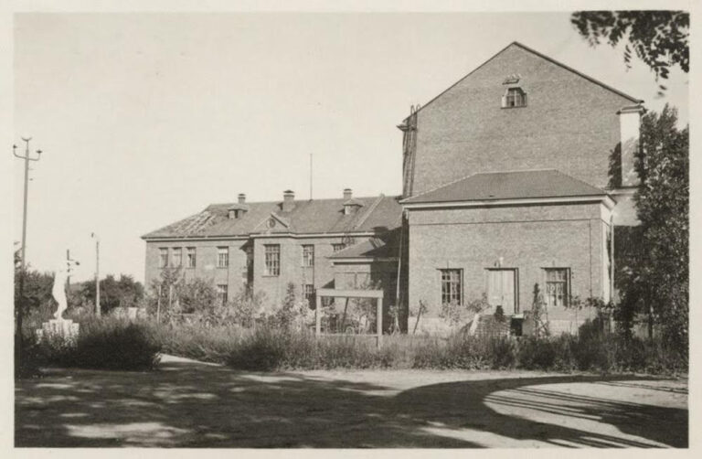
Facade from the modern Kryukiv parkPeriod: September 1941Place: Kremenchuk, Kryukiv, club named after KotlovaPhoto provided by Serhiy...