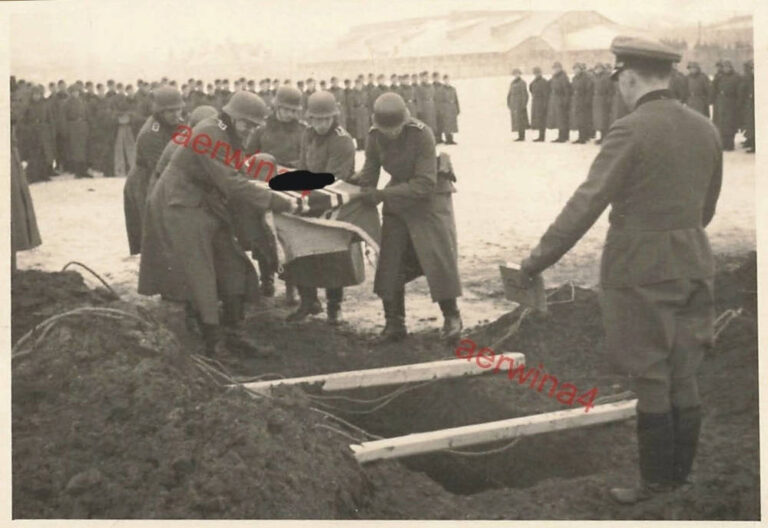
German military cemetery on Sobachia Square in Kremenchuk, on the site of the modern Station of Young...
World War II
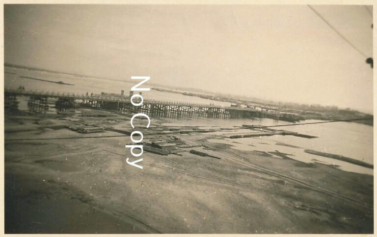
View from the Kryukiv railway bridge to the German Ostland road bridge, just downstream of the Dnieper,...
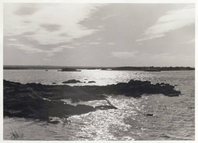
Kryukivskyi bank of the Dnieper, slightly upstream from the railway bridge, September 1943. In the background is...
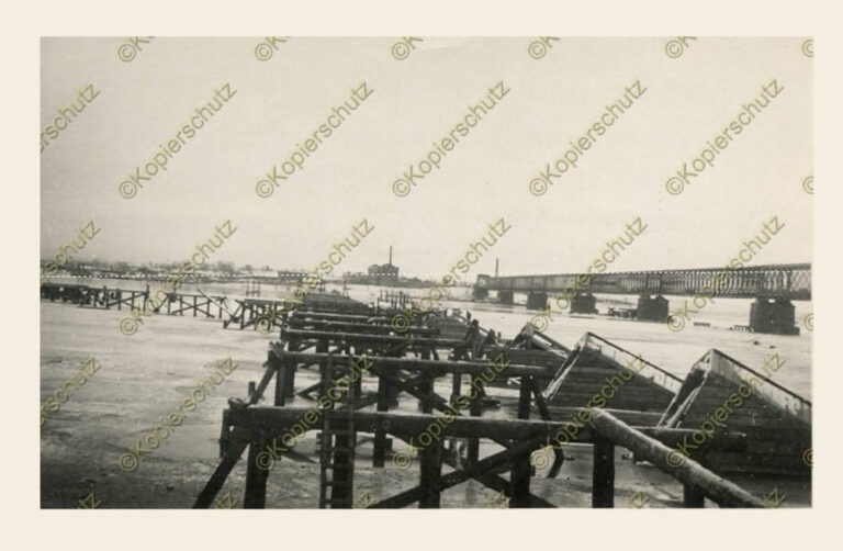
Date: January 1942 Location: Kremenchuk, railway bridge over the Dnieper and remains of a road bridge destroyed...
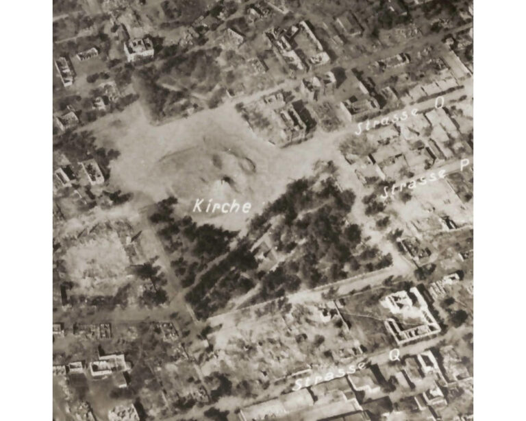
Modern Victory Square on a fragment of a German aerial photograph, Kremenchuk, September 30, 1943. The Germans...
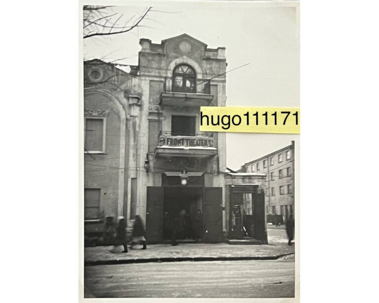
Kremenchuk Theater in December 1941. The photo was taken on Lenina Street (now Soborna Street), on the...
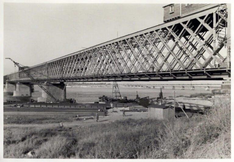
The old Kryukiv railway bridge in its last days, September 1943. The photo was taken in Kryukiv,...
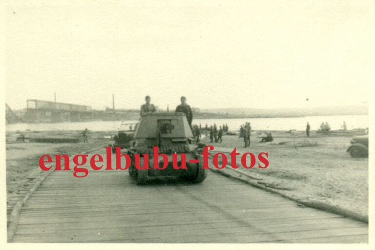
Date: 1941 Location: Kremenchuk, German self-propelled gun Panzerjäger I from the 670th anti-tank battalion (Panzerjäger-Abteilung 670) on...
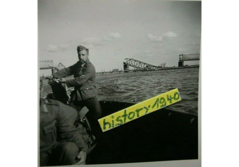
Date: 1941Location: Kremenchuk, German assault boat (Sturmboot) on the background of a blown up railway bridge across...
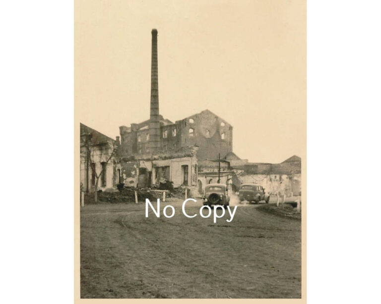
Kryukiv Sawmill, October-November 1941. The photo was taken at the beginning of Lenina Street (now Makarenko Street,...
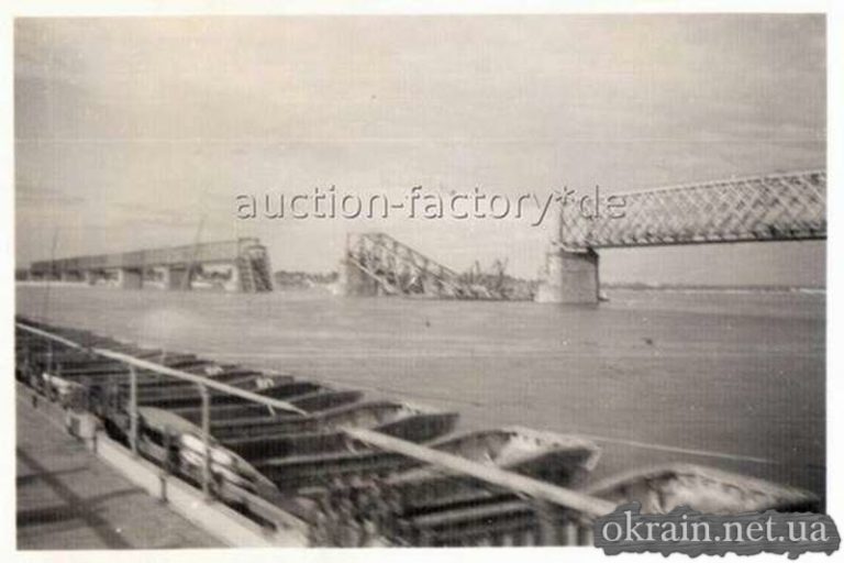
Photo of the railway bridge from the crossing. 1941, Kremenchug. German photo.
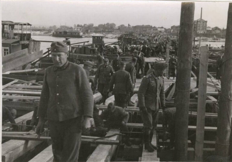
Period: September 10, 1941 to September 30, 1941 Location: Kremenchuk, construction of the Ostland Road Bridge by...
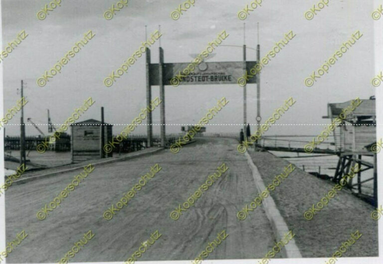
Date: World War II Place: Kremenchuk, view of the Runstedt bridge Photo caption: “Blick auf die General...
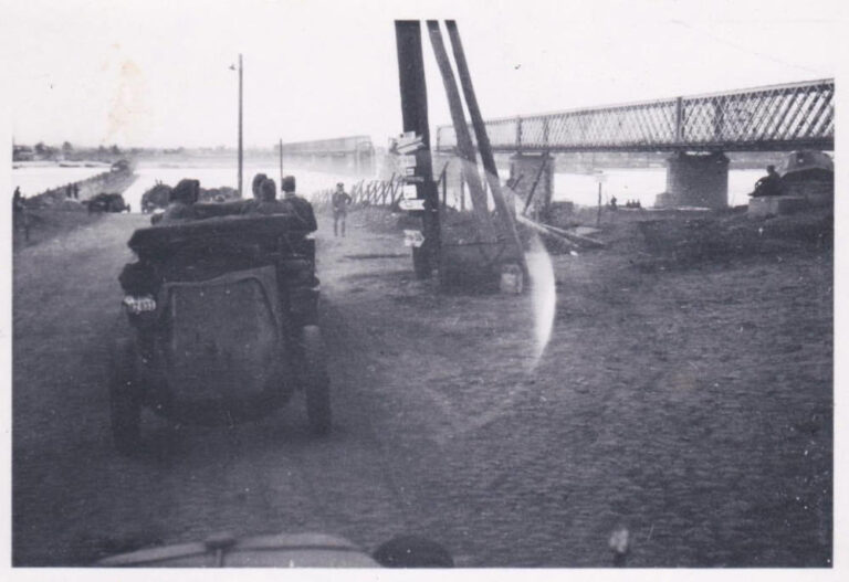
Kryukiv, Dnieper River bank, September 1941. On the left in the photo is a dirt road before...