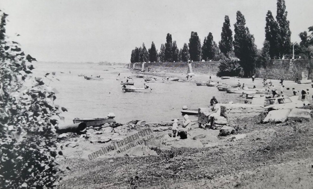

Date: 1970s
Location: Kremenchug, Dnieper Embankment
Photo source: “Kremenchug” photo album, “Mistetstvo” publishing house, 1976
Information about the rock Granite registry Kremenchug
The rock – a granite register – a geological natural monument of local significance – the exfoliation of gray biotite-plagioclase medium-grained migmatites from the Precambrian period about 3 billion years old. Flood marks are carved on the rock for the years: 1787, 1789, 1820, 1842, 1845, 1877, 1888, 1895, 1915, 1942. The geological monument is located near the river station on an area of 0.05 hectares and is a valuable water relic, which is listed water level during the Dnieper floods. The monument was announced by the decision of the executive committee of the Poltava Regional Council of Deputies dated December 24, 1970 at No. 555.